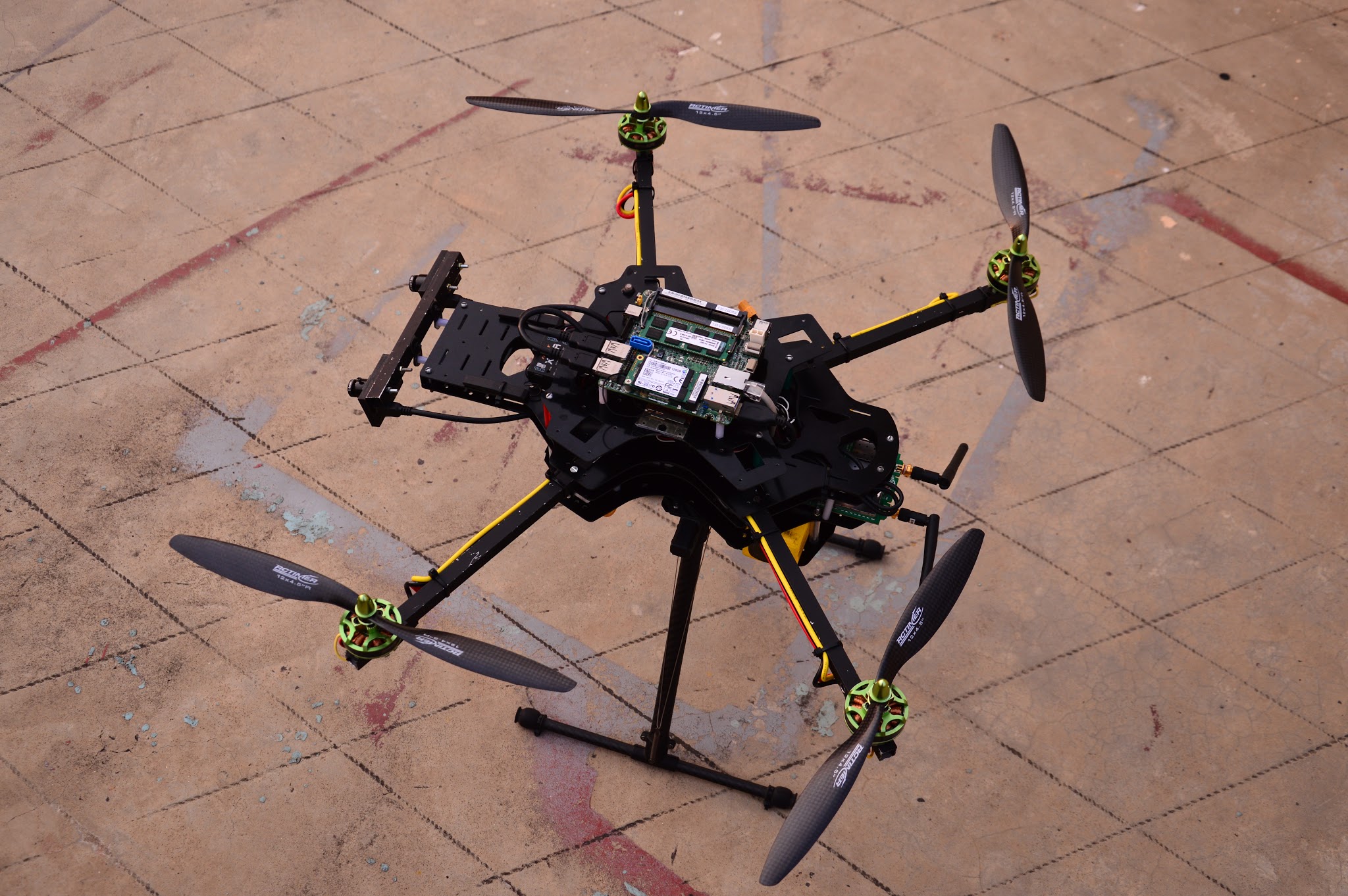
Small, autonomous aerial vehicles can provide assistance to ground-based teams in various fields, from structural inspection to collaborative search-and-rescue. Often, limited infrastructural availability and adverse conditions mean that external communications to a ground control station, and more importantly, satellite based positioning cannot be relied on. Full autonomy is important for such a system, be it optimal path-planning, global localization or target detection. The limited payload capability of these systems make it a further challenge to find the best balance of sensors and computing systems while maintaining a high level of system agility for navigation. We target the fields of Urban Search and Rescue (USAR) and 3D mapping for deployment of our system. We chose a quadrotor for our test platform, due to their cost-effectiveness and agility.The goal of the system is to be rapidly deployable, capable of operating with or without a human operator at the controls, and capable of mapping out inaccessible areas for first responders to a situation. Our system is fully vehicle-independent, and can be run on any multi-rotor vehicle equipped with the necessary sensor suite.